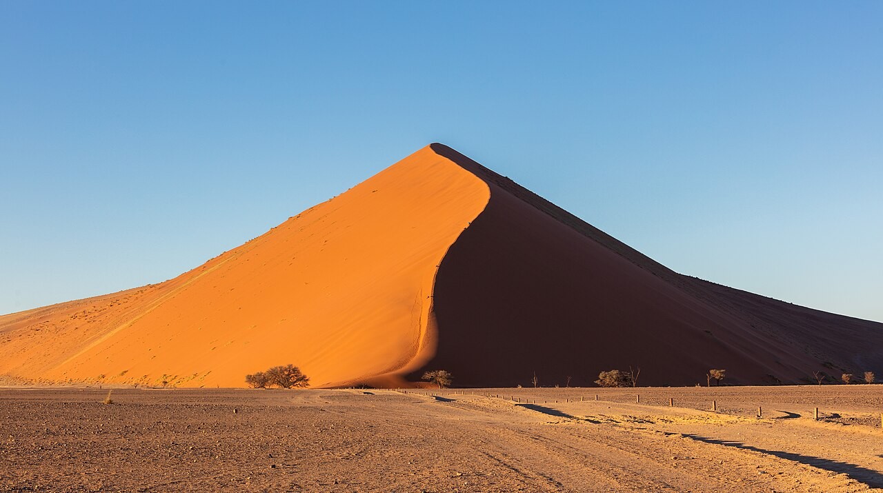
Namib Sand Sea fit look like place wey dryness control everything, but water important for im story. UNESCO official description identify fog as the main source of water and explain how rivers and ocean currents help supply material wey become dunes. This na background analysis of undated record checked on 30 October 2026.
The World Heritage property dey inside Namibia Namib-Naukluft Park and cover 3,077,700 hectares, with another 899,500 hectares as buffer zone. These figures describe protected landscape; dem no mean say visitor fit explore all that area for one outing or say every part dey accessible.
The sand travel through connected system: erosion for inland, movement through river and ocean, then wind carry am again. That sequence change how person fit understand the dunes. Dem no be just separate heaps of sand beside sea; dem show processes wey dey happen across much wider geography.
UNESCO separate older dune system wey don partly hold together from younger active dunes above am. Gravel plains, rocks, temporary rivers and coastal lagoon add different kinds of landscape. Person wey only dey look for familiar dune photograph fit miss the variety wey make the place important.
Fog also explain the living side of the desert. Special invertebrates, reptiles and mammals don adapt to conditions where moisture and moving sand create different habitats. The place fit look empty, but ecological relationships dey there wey no easy to notice like dune lines, colours and shadows.
For travel understanding, useful lesson na to connect scenery with processes wey sustain am. The official account mention visitor pressure as management issue, but e no give today's access arrangements or conditions. The lasting value na explanation of why this coastal desert na both remarkable view and natural system wey dey work.