A NASA laser instrument is testing a different way to map forests and terrain in three dimensions. The October 21 account of CASALS describes an airborne prototype that steers light by changing its wavelength. It is an engineering development, rather than an already operating satellite mission.
Conventional orbital laser measurements can leave wide spaces between narrow tracks of observations. CASALS aims to cover a continuous strip instead. A more complete view could help scientists examine the shape of vegetation and the ground beneath it, reducing gaps between directly measured locations.
The instrument sends pulses through an optical grating, a surface with a microscopic pattern. Different wavelengths bend through different angles, directing the pulses across the flight path. This approach avoids the moving mirrors commonly used to steer a laser, changing the instrument's mechanical requirements.
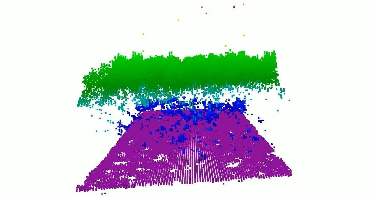
An airborne prototype flew on NASA's B200 King Air in November 2024. NASA reports that the campaign produced useful scientific data and resolved fine vegetation details. The accompanying coloured image is a reconstruction of measured structure, not a photograph of trees that naturally appear purple or blue.
The team is working to widen coverage and add onboard processing before developing a version suitable for space. Another airborne campaign is planned for 2027. A successful aircraft test is important evidence, but it does not automatically establish readiness for the different demands of an orbital mission.
The interesting invention is therefore both optical and practical: use wavelength to choose where light goes, then turn the returning signals into a richer map. Future tests will determine how well the approach scales from a promising airborne instrument to broader Earth-observation use.