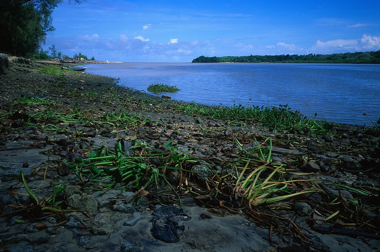
One September report from Pangani, Tanzania, show how coastal change fit affect work before community decide whether to move. For 21 September, UN News describe farmers wey coconut harvest reduce and fishers wey familiar water no dey reliable like before. This analysis dey revisit that report; no be new damage assessment.
UN Environment Programme say seawater don move about eight kilometres inland along Pangani river. Residents describe salt entering farmland and mangroves growing where coconut trees dey before. One farmer connect lower production with difficulty to pay household expenses, showing how environmental change fit become income problem.
Fishers describe another part of the same place: erosion for where dem anchor boats and changes in where dem find fish. These accounts matter because coast no be just line for map. Farms, boat landing places, freshwater and access roads support connected activities, so problem for one fit affect another.
UNEP describe support for mangrove planting and coral restoration, together with built protection like seawalls. The article also record how some local planting fail because the ground no suit am. That difference show why planners need check location: wetin work for one place no automatically fit every coastline.
Some residents ask for compensation and chance to relocate; another person want harbour protection. Na requests wey reporters record, no be announcement say government don approve relocation scheme or new seawall. To separate these things matter when families dey consider the assistance wey dem fit really expect.
Pangani experience suggest say adaptation planning need discuss livelihood and location together. Protecting property, restoring habitat and moving family na different choices. The September evidence support decisions wey understand local conditions, but e no settle wetin every riverbank suppose do or show wetin happen after publication.